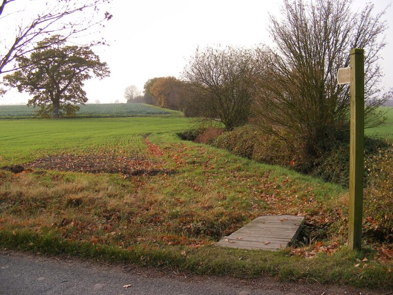
Our latest version of Unclaimed Land code, Unclaimed Land v2.0, includes rights of way data for England & Wales. We use data from our sister website, RightsOfWay.UK, to provide our subscribers with a quick way of checking if a prospective plot has a path on it. Do you know rights of way effect adverse possession? If you don’t, or want to read up on it more, have a look at our page on rights of way and adverse possession here.
Unfortunately, the new rights of way layer does not include every single county in the UK. Counties, except London, are required to produce a definitive map registering all paths and most then offer this data online. However, we do not have data for some counties as they have not published this infomation online yet. We have sent requests to every authority we do not have rights of way infomation on so hopefully we will be able to fill the gaps soon. Once we have the infomation, it will be uploaded onto our map layer immediately and will then be instantly accessible to all our subscribers without an update or delay.
The Missing Data List
Below is a list of authorities for which we do not have rights of way infomation on. This includes most of London and otherwise consists mostly of cities. As with our Unclaimed Land maps, Scotland and Northern Ireland is not covered yet.
- BD Barking and Dagenham
- BE Bridgend
- BN Barnet
- BT Brent
- CY Croydon
- DB City of Derby
- DL Darlington
- EG Ealing
- EN Enfield
- HA Halton
- HG Haringey
- HI Hillingdon
- HN Hackney
- HS Hounslow
- HT Hartlepool
- HV Havering
- IS Isles of Scilly
- KG Kingston upon Thames
- LN Luton
- LO City of London
- LP Liverpool
- MB Middlesbrough
- MR Merton
- NC North East Lincolnshire
- NE Newport
- NH Newham
- NR North Tyneside
- NW Newcastle upon Tyne
- RB Redbridge
- RT Richmond upon Thames
- SA Sandwell
- SD Swindon
- SJ City of Stoke-on-Trent
- SV Sunderland
- SY South Tyneside
- SZ Sutton
- WF Waltham Forest
- WH City of Wolverhampton
- YS Southend-on-Sea
