How to Use Our Map
Our map is directly accessed through this website under the ‘Access Maps’ page. Rather than having to download a very large file and try to open it with expensive mapping software (or worse-still complex buggy open source programs) we want to make it as easy as possible to view the data you need. The map will display all unclaimed land as filled polygons over a standard map – it’s as simple as that! We even offer two map options:
- OpenStreet Maps
- Here Maps Satellite
To help with ease of use and to increase speeds we have split the map accordingly into District Council layers. To view the map you require head to the county section then select the appropriate link.
Using a simple button in the top right corner of our maps, our users can easily switch between the standard map and aerial maps as well as turn off and on the unclaimed land overlay. It could not be easier to find unregistered land with our product!
Unclaimed Land v2.0
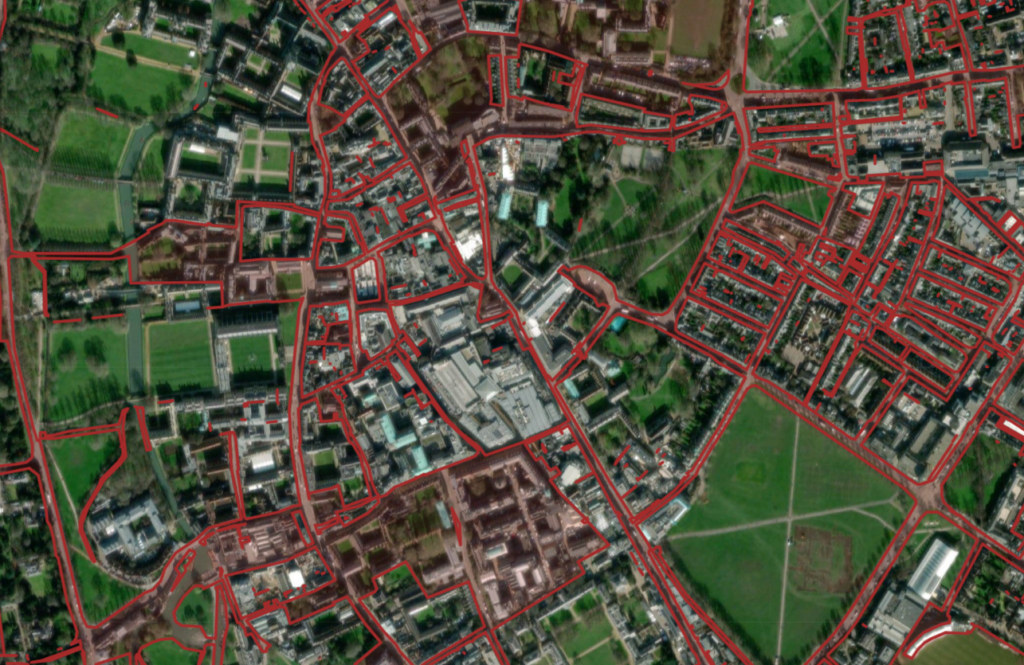
All our maps are now running on Unclaimed Land v2.0 code. We have significantly tidied up the code and reduced dependencies. This means it now launches, and runs, significantly faster than our prior product. We have also added a new layer mapping rights of way, from RightsOfWay.UK, which means you can scan for footpaths on unregistered land plots. The rights of way layer maps out all footpaths, bridleways and byways in England and Wales. Unfortunately our rights of way data does not cover some regions, including most of London, due to lack of government data however we are looking to fill the remaining gaps soon (list of missing data here). Our demo map, of Cambridge City, is running on our new code which can be viewed here.
How We Make the Map
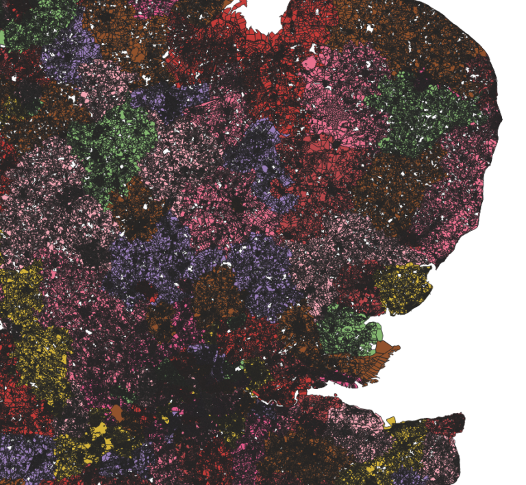
Our map is calculated through the INSPIRE Cadastral data which is available under the Open Government License. It is, however, incredibly large and unwieldy with a combined size of over 40GB. We use a large array of servers to process the data down to a smaller size to enable easier analysis then we work out the empty space on the map giving us the final product. New government data is released frequently which requires us to redo the entire process again to ensure our customers have the most up-to-date maps – all subscription packages come with unlimited updates during the subscription term.
The entire process is highly complex however we have crafted a system to ensure our customers get the most accurate, useful data as quickly as possible. Nowhere else on the internet can you get such specific data on unclaimed land as easily as our product offers.
Pricing
To access our map on this website we offer a standard subscription for £49.95 per month which covers all updates which may occur over this period. For a custom niche dataset this is a very reasonable rate and can save you a lot of time and trouble trying to work it out yourself.
We don’t currently offer a district specific membership however our unlimited subscription offers great value for money. We do track logins from user accounts to limit resource demand and ensure all users have a smooth experience on our site. This means we do have to limit customers to only one login session. For organisations or individuals requiring shared/multiple accounts, please contact us as a standard account will not allow this. We offer great volume discount rates for customers requiring more than one account.
-
Standard License Unlimited Access £29.95pm
Our standard rate for unlimited access to all the maps on our site charged on a monthly subscription basis. All updates during the duration of the license included. Subscription renewals may be cancelled at any point.
-
Yearly Unlimited Access License £199.95pa
For one year access to all the maps we have on this site charged on a one-off basis or as a subscription. The includes all updates we provide over the duration of the license. Priority customer support included.
-
Weekly Unlimited License £15.95pw
For users who only need to quickly check the map our one week deal is perfect for you. Get unlimited access to all our maps with this deal with any updates includes.

Future Plans
Currently, we only have maps on hand for England and Wales. Due to the different nature of land ownership in Scotland, we will not be supporting Scotland from the onset.
We are, however, looking to expand our dataset to cover the entirety of the United Kingdom (including Scotland and Northern Ireland). A provisional date for this expansion is February 2024 for Scotland and March 2024 for Northern Ireland however more update will follow.
To keep up to date with our plans and an changes please subscribe to our newsletter using the link below.
We love to hear from our users. Anything which would improve your user experience, anything which should be added or removed from the site or anything which you love you use – we want to hear!